
Aviator Toolbox
Plan, assess, and calculate.
Live aviation information and practical pilot tools in one workspace.
Featured workspace
Aeronautical map and route planning
Start with the big picture: sectional and TAC charts, airport weather, radar, PIREPs, advisories, TFRs, and wind-corrected route calculations.
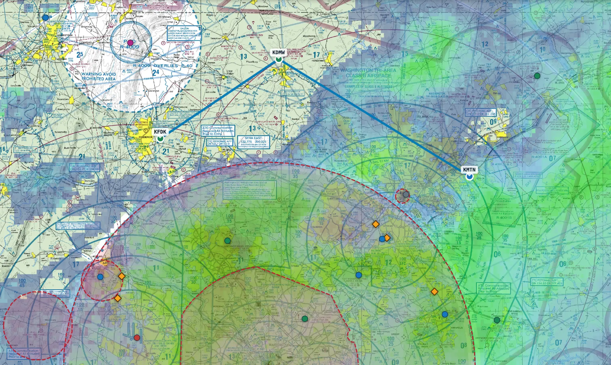 Live mapCharts, weather, airspace & routing
Plan and assess
Weather and flight planning
Current conditions, airport details, official briefing resources, and operational notices.
METAR Decoder
Review METAR and TAF weather, decode observations, and search the aviation acronym reference.
Open tool Facility directoryAirport Information
Search airport, runway, frequency, ownership, and facility details.
Open tool Graphical forecastGFA
Use the FAA Graphical Forecasts for Aviation product, formerly known as the HEMS tool.
Open tool Time-critical flight informationAirport NOTAMs
Review cached FAA airport NOTAMs with feed age and effective times.
Open toolCalculate
Cockpit calculations
Fast answers for performance planning, weather estimates, and logbook work.
E6B Calculations
Calculate pressure altitude, density altitude, true airspeed, wind correction, headings, and groundspeed.
Open tool Ceiling estimateCloud Base
Estimate convective cloud-base height from temperature and dewpoint spread.
Open tool Logbook helperFlight Duration
Add or subtract flight times and convert the result into common decimal-hour formats.
Open toolReference and record
Regulations, forms, and records
Frequently used references, printable worksheets, and recordkeeping resources.
FAR Regulations
Find commonly used aviation regulations and jump to the current official text.
Open tool Printable worksheetFSS Briefing Form
Download a structured worksheet for recording a standard Flight Service briefing.
Open tool File and printFlight Plan Form
Download and complete the CFIBastian flight-planning worksheet.
Open tool