Flight planning
Build routes with airports, fixes, and custom waypoints. Review wind-adjusted leg estimates, time, and fuel, then export a PDF navigation log, GPX route, or text summary.

Electronic flight bag · In flight testing
Flight planning, charts, and situational awareness in one place. Planned for iOS and Android phones and tablets, with real-world helicopter flight testing shaping the experience.
Built around the flight
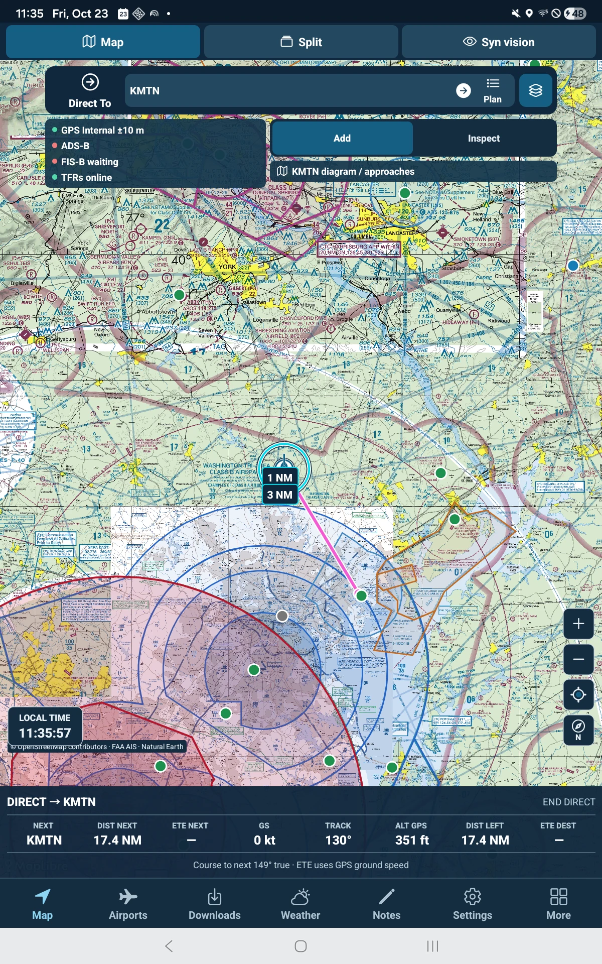
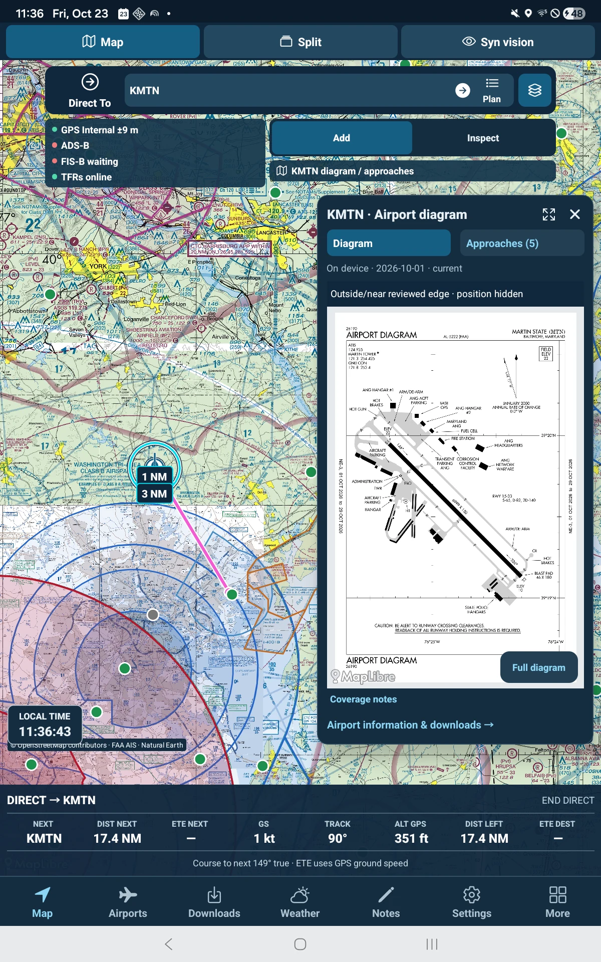
Navigator brings together route planning, offline chart preparation, airport details, weather, and supplemental in-flight views. Its tools are being tested in real flying; availability and coverage will be confirmed before release.
Inside Navigator
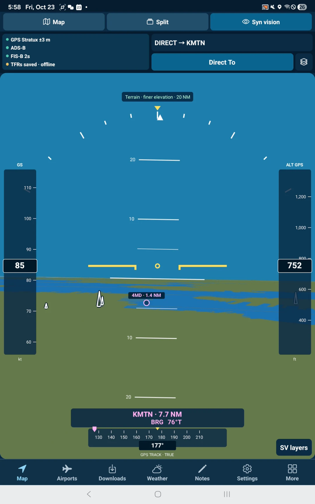
Actual Android captures from October 23, 2026, including flight testing. Tap a screenshot to see it at full size. Features and appearance may change before release.
One account across devices
You can sign in on the website, build a flight plan with online charts, and save the route to your CFIBastian account. Navigator account sync is in testing. The goal is for a route saved in Navigator while offline to sync to the same account when the device reconnects. Downloaded charts and other changing data still need their own updates before flight.
Navigator will require an account from first use. A 30-day free trial tied to that account is planned for public release; trial activation and subscription access are not active yet.
Supplemental awareness
Navigator is developing a synthetic-vision view of terrain, water, runways, obstacles, and supported traffic. It can use compatible Stratux GPS and attitude input, with a GPS-based view when attitude data is unavailable.
This view is supplemental situational awareness. It is not a primary flight instrument or a certified terrain-warning system.
Where things stand
Navigator is planned for iOS and Android. One CFIBastian account and subscription across both platforms is the goal, with a planned 30-day free trial. A commercial release is targeted for late 2026, subject to testing. Subscription pricing and availability have not been announced.
Flight Service briefing and filing integration is planned, subject to provider access and approval. Exporting a route does not file, activate, or close a flight plan.
Interested in Navigator or a potential integration?
Contact us about Navigator →